Road through Bridekirk Hall farm
Introduction
The photograph on this page of Road through Bridekirk Hall farm by Graham Robson as part of the Geograph project.
The Geograph project started in 2005 with the aim of publishing, organising and preserving representative images for every square kilometre of Great Britain, Ireland and the Isle of Man.

There are currently over 7.5m images from over 14,400 individuals and you can help contribute to the project by visiting https://www.geograph.org.uk
Road through Bridekirk Hall farm
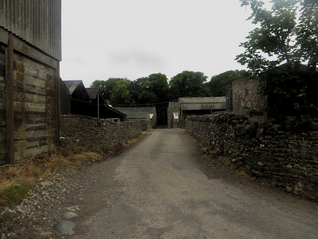
Image: © Graham Robson Taken: 17 Jun 2016
This narrow road separates two sides of the steading of the farm at Bridekirk Hall.
Images are licensed for reuse under creativecommons.org/licenses/by-sa/2.0
Image Location
Latitude
54.690948
Longitude
-3.369673