Lyme Brook from the A500
Introduction
The photograph on this page of Lyme Brook from the A500 by Jonathan Hutchins as part of the Geograph project.
The Geograph project started in 2005 with the aim of publishing, organising and preserving representative images for every square kilometre of Great Britain, Ireland and the Isle of Man.

There are currently over 7.5m images from over 14,400 individuals and you can help contribute to the project by visiting https://www.geograph.org.uk
Lyme Brook from the A500
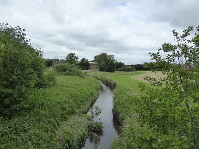
Image: © Jonathan Hutchins Taken: 18 Jun 2016
The brook forms the boundary between the Borough of Newcastle-under-Lyme to the west (left) and the unitary authority of Stoke-on-Trent to the east (right).
Images are licensed for reuse under creativecommons.org/licenses/by-sa/2.0
Image Location
Latitude
52.981377
Longitude
-2.204602