Folly Bog access gates
Introduction
The photograph on this page of Folly Bog access gates by Alan Hunt as part of the Geograph project.
The Geograph project started in 2005 with the aim of publishing, organising and preserving representative images for every square kilometre of Great Britain, Ireland and the Isle of Man.

There are currently over 7.5m images from over 14,400 individuals and you can help contribute to the project by visiting https://www.geograph.org.uk
Folly Bog access gates
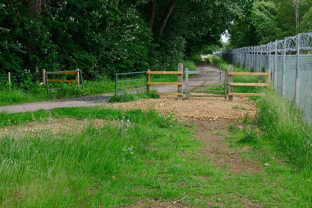
Image: © Alan Hunt Taken: 15 Jun 2016
The access gate and cattle grid on the road to the Folly Bog north of the Pirbright Range Danger Area, the fence of which is on the right.
Images are licensed for reuse under creativecommons.org/licenses/by-sa/2.0
Image Location
Latitude
51.342873
Longitude
-0.670194