Hoyle Croft Lane near Braithwell
Introduction
The photograph on this page of Hoyle Croft Lane near Braithwell by Jonathan Clitheroe as part of the Geograph project.
The Geograph project started in 2005 with the aim of publishing, organising and preserving representative images for every square kilometre of Great Britain, Ireland and the Isle of Man.

There are currently over 7.5m images from over 14,400 individuals and you can help contribute to the project by visiting https://www.geograph.org.uk
Hoyle Croft Lane near Braithwell
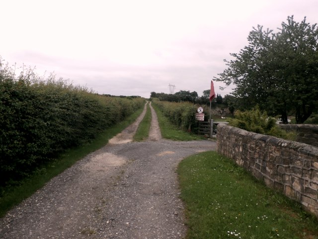
Image: © Jonathan Clitheroe Taken: 19 Jun 2016
The red flags indicate the presence of a rifle range to the right of the lane.
Images are licensed for reuse under creativecommons.org/licenses/by-sa/2.0
Image Location
Latitude
53.441002
Longitude
-1.214876