Western boundary of Gorseinon
Introduction
The photograph on this page of Western boundary of Gorseinon by Jaggery as part of the Geograph project.
The Geograph project started in 2005 with the aim of publishing, organising and preserving representative images for every square kilometre of Great Britain, Ireland and the Isle of Man.

There are currently over 7.5m images from over 14,400 individuals and you can help contribute to the project by visiting https://www.geograph.org.uk
Western boundary of Gorseinon
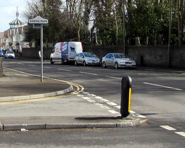
Image: © Jaggery Taken: 25 Mar 2016
The Gorseinon boundary sign is on the corner of the A4240 Alexandra Road and Brynamlwg Road in Loughor. The Loughor boundary sign http://www.geograph.org.uk/photo/5001521 is on the back of the Gorseinon sign.
Images are licensed for reuse under creativecommons.org/licenses/by-sa/2.0
Image Location
Latitude
51.667986
Longitude
-4.050392