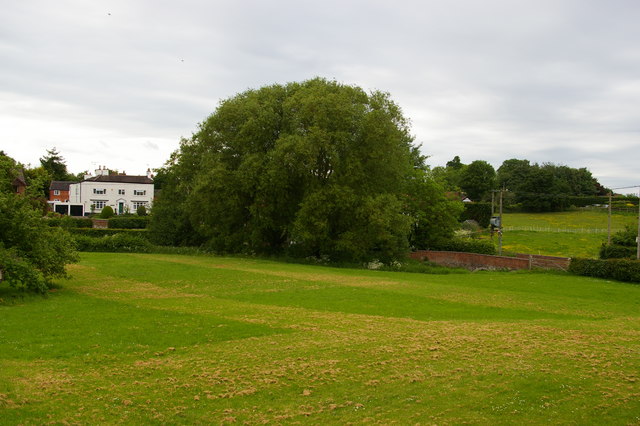
Audlem: Taintree House and Salford, from Woore Road
Introduction
The photograph on this page of Audlem: Taintree House and Salford, from Woore Road by Christopher Hilton as part of the Geograph project.
The Geograph project started in 2005 with the aim of publishing, organising and preserving representative images for every square kilometre of Great Britain, Ireland and the Isle of Man.
There are currently over 7.5m images from over 14,400 individuals and you can help contribute to the project by visiting https://www.geograph.org.uk

Image: © Christopher Hilton Taken: 31 May 2016
Taintree House, formerly known as the Manor House, dates back to at least the first half of the eighteenth century, and was the home of the artist Sir James Hamilton Hay in the early twentieth century. (See http://history.audlem.org/med/F57029.jpg for an extract from Marjorie Burton's "Nineteenth Century Audlem", written in 1973, describing the house and artist.) The lane running to the right across the photograph is Salford (that is, Salt Ford, taking its name from one of Cheshire's major exports), which was replaced as the main road east out of the village by the Woore Road turnpike in the first half of the nineteenth century.

