Flagged footpath
Introduction
The photograph on this page of Flagged footpath by Stephen Craven as part of the Geograph project.
The Geograph project started in 2005 with the aim of publishing, organising and preserving representative images for every square kilometre of Great Britain, Ireland and the Isle of Man.

There are currently over 7.5m images from over 14,400 individuals and you can help contribute to the project by visiting https://www.geograph.org.uk
Flagged footpath
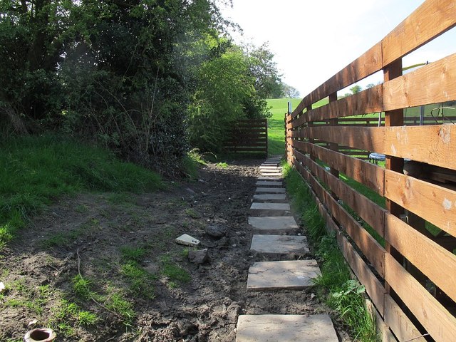
Image: © Stephen Craven Taken: 8 May 2016
The footpath runs behind houses on Lee Lane East, Horsforth and a muddy patch has been relieved by the placing of 600x600 concrete paving flags to form a causeway.
Images are licensed for reuse under creativecommons.org/licenses/by-sa/2.0
Image Location
Latitude
53.843198
Longitude
-1.641135