St Margaret's Road, Horsforth
Introduction
The photograph on this page of St Margaret's Road, Horsforth by Stephen Craven as part of the Geograph project.
The Geograph project started in 2005 with the aim of publishing, organising and preserving representative images for every square kilometre of Great Britain, Ireland and the Isle of Man.

There are currently over 7.5m images from over 14,400 individuals and you can help contribute to the project by visiting https://www.geograph.org.uk
St Margaret's Road, Horsforth
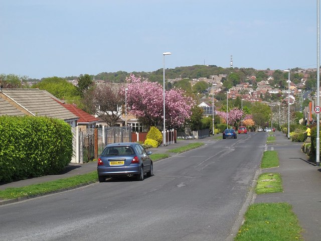
Image: © Stephen Craven Taken: 8 May 2016
Looking downhill from the top (western) end of the road. The road is some distance from the parish church of the same name.
Images are licensed for reuse under creativecommons.org/licenses/by-sa/2.0
Image Location
Latitude
53.844364
Longitude
-1.640061