River Stour at Eccliffe
Introduction
The photograph on this page of River Stour at Eccliffe by Phil Williams as part of the Geograph project.
The Geograph project started in 2005 with the aim of publishing, organising and preserving representative images for every square kilometre of Great Britain, Ireland and the Isle of Man.

There are currently over 7.5m images from over 14,400 individuals and you can help contribute to the project by visiting https://www.geograph.org.uk
River Stour at Eccliffe
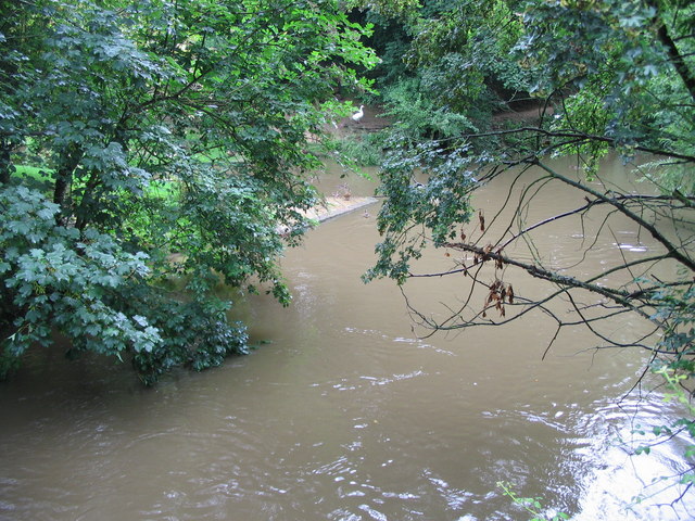
Image: © Phil Williams Taken: 20 Jul 2007
A view looking west along the River Stour at Eccliffe. The river is swollen after recent heavy rain. The outfall of the leat which once drove Eccliffe Mill can be seen at upper centre.
Images are licensed for reuse under creativecommons.org/licenses/by-sa/2.0
Image Location
Latitude
51.026888
Longitude
-2.289693