Strathleven grassland with bluebells
Introduction
The photograph on this page of Strathleven grassland with bluebells by Lairich Rig as part of the Geograph project.
The Geograph project started in 2005 with the aim of publishing, organising and preserving representative images for every square kilometre of Great Britain, Ireland and the Isle of Man.

There are currently over 7.5m images from over 14,400 individuals and you can help contribute to the project by visiting https://www.geograph.org.uk
Strathleven grassland with bluebells
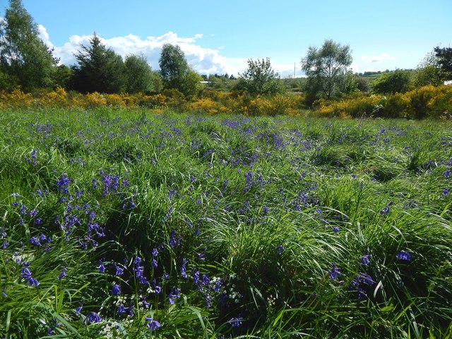
Image: © Lairich Rig Taken: 22 May 2016
The line of gorse and trees not far ahead separates this area from the one shown in Image, which, as the map shows, is closer to the road (Burroughs Way, which is named after one of the factories that used to be in the industrial estate). The grassy space shown in the present picture is farther from that road, but closer to Strathleven Estate (a housing estate: see http://www.geograph.org.uk/tagged/place:Strathleven+Estate for pictures). It can be reached by means of, for example, the path shown in Image
Images are licensed for reuse under creativecommons.org/licenses/by-sa/2.0
Image Location
Latitude
55.970984
Longitude
-4.572539