Pond beside Strathleven House
Introduction
The photograph on this page of Pond beside Strathleven House by Lairich Rig as part of the Geograph project.
The Geograph project started in 2005 with the aim of publishing, organising and preserving representative images for every square kilometre of Great Britain, Ireland and the Isle of Man.

There are currently over 7.5m images from over 14,400 individuals and you can help contribute to the project by visiting https://www.geograph.org.uk
Pond beside Strathleven House
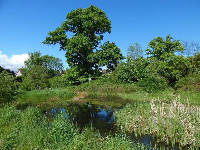
Image: © Lairich Rig Taken: 22 May 2016
See Image for a view from another angle. The pond is an old feature of the estate: it is represented on the first-edition OS map of 1860. The present picture was taken a few seconds after an autogiro (which I managed to photograph) had flown almost overhead; see the comments at Image
Images are licensed for reuse under creativecommons.org/licenses/by-sa/2.0
Image Location
Latitude
55.969711
Longitude
-4.568929