Surface of former drove road
Introduction
The photograph on this page of Surface of former drove road by Lairich Rig as part of the Geograph project.
The Geograph project started in 2005 with the aim of publishing, organising and preserving representative images for every square kilometre of Great Britain, Ireland and the Isle of Man.

There are currently over 7.5m images from over 14,400 individuals and you can help contribute to the project by visiting https://www.geograph.org.uk
Surface of former drove road
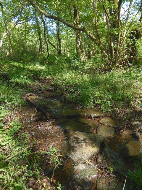
Image: © Lairich Rig Taken: 22 May 2016
The picture was taken from about the same spot as Image, but the present view is in the opposite direction (uphill). A burn flows along this part of the route, and at this point it allows a view beneath the vegetation cover: the surface rather resembles crude paving slabs. Whether they date from the period when this was a drove road, or from recent times, I cannot say.
Images are licensed for reuse under creativecommons.org/licenses/by-sa/2.0
Image Location
Latitude
55.983597
Longitude
-4.558146