Old Magistrates House - Church Lane
Introduction
The photograph on this page of Old Magistrates House - Church Lane by John M as part of the Geograph project.
The Geograph project started in 2005 with the aim of publishing, organising and preserving representative images for every square kilometre of Great Britain, Ireland and the Isle of Man.

There are currently over 7.5m images from over 14,400 individuals and you can help contribute to the project by visiting https://www.geograph.org.uk
Old Magistrates House - Church Lane
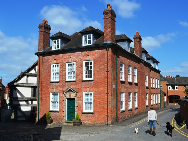
Image: © John M Taken: 14 May 2016
Early 18th Century house at top end of Church Lane. Grade II listed with surrounding buildings.
Images are licensed for reuse under creativecommons.org/licenses/by-sa/2.0
Image Location
Latitude
52.037217
Longitude
-2.421556