Public footpath at Water Eaton
Introduction
The photograph on this page of Public footpath at Water Eaton by Mat Fascione as part of the Geograph project.
The Geograph project started in 2005 with the aim of publishing, organising and preserving representative images for every square kilometre of Great Britain, Ireland and the Isle of Man.

There are currently over 7.5m images from over 14,400 individuals and you can help contribute to the project by visiting https://www.geograph.org.uk
Public footpath at Water Eaton
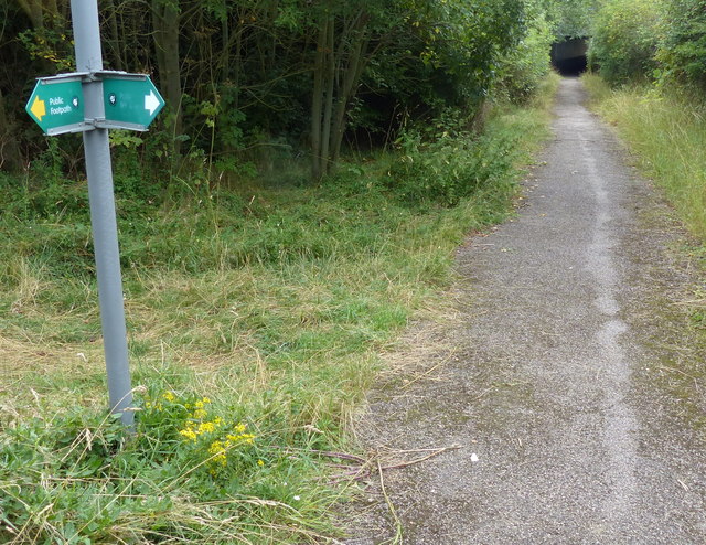
Image: © Mat Fascione Taken: 16 Aug 2015
This path leads south alongside the West Coast Main Line, under the A4146, to the village of Stoke Hammond.
Images are licensed for reuse under creativecommons.org/licenses/by-sa/2.0
Image Location
Latitude
51.973211
Longitude
-0.728484