Byway to Nether Moor, South Crosland
Introduction
The photograph on this page of Byway to Nether Moor, South Crosland by Humphrey Bolton as part of the Geograph project.
The Geograph project started in 2005 with the aim of publishing, organising and preserving representative images for every square kilometre of Great Britain, Ireland and the Isle of Man.

There are currently over 7.5m images from over 14,400 individuals and you can help contribute to the project by visiting https://www.geograph.org.uk
Byway to Nether Moor, South Crosland
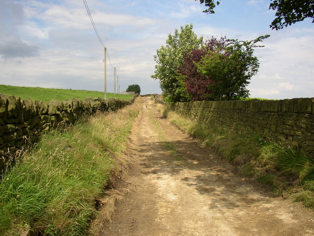
Image: © Humphrey Bolton Taken: 19 Jul 2007
This goes from Sandy Lane to Nether Moor Road. NB - Update - This has been blocked at Netherton Moor Farm and you cannot get through to Nether Moor Lane. The farmer insists that the lane was included on the definitive map in error. http://www.examiner.co.uk/news/west-yorkshire-news/kirklees-council-backs-down-right-10357858
Images are licensed for reuse under creativecommons.org/licenses/by-sa/2.0
Image Location
Latitude
53.615224
Longitude
-1.827638