Bridleway junction east of Garstons
Introduction
The photograph on this page of Bridleway junction east of Garstons by Graham Horn as part of the Geograph project.
The Geograph project started in 2005 with the aim of publishing, organising and preserving representative images for every square kilometre of Great Britain, Ireland and the Isle of Man.

There are currently over 7.5m images from over 14,400 individuals and you can help contribute to the project by visiting https://www.geograph.org.uk
Bridleway junction east of Garstons
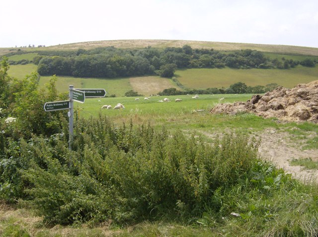
Image: © Graham Horn Taken: 14 Jul 2007
Another bridleway junction, well signposted with destinations as well as path numbers. This is on a small plateau above Gatcombe, with Garstons Down beyond.
Images are licensed for reuse under creativecommons.org/licenses/by-sa/2.0
Image Location
Latitude
50.668857
Longitude
-1.313797