Main road through Peacehaven
Introduction
The photograph on this page of Main road through Peacehaven by Chris as part of the Geograph project.
The Geograph project started in 2005 with the aim of publishing, organising and preserving representative images for every square kilometre of Great Britain, Ireland and the Isle of Man.

There are currently over 7.5m images from over 14,400 individuals and you can help contribute to the project by visiting https://www.geograph.org.uk
Main road through Peacehaven
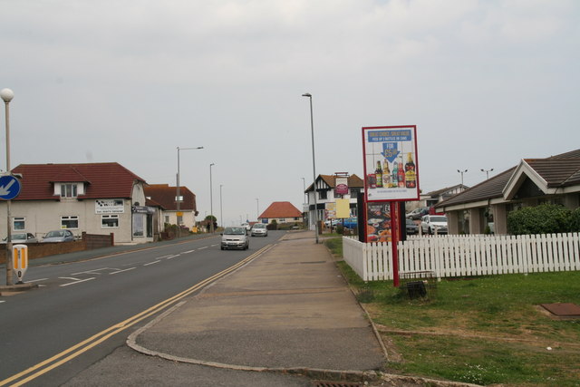
Image: © Chris Taken: 11 Jun 2016
Right is Malines Avenue South, which runs through Howard Park.
Images are licensed for reuse under creativecommons.org/licenses/by-sa/2.0
Image Location
Latitude
50.793008
Longitude
-0.009187