The Gibberie Wallie
Introduction
The photograph on this page of The Gibberie Wallie by Bill Harrison as part of the Geograph project.
The Geograph project started in 2005 with the aim of publishing, organising and preserving representative images for every square kilometre of Great Britain, Ireland and the Isle of Man.

There are currently over 7.5m images from over 14,400 individuals and you can help contribute to the project by visiting https://www.geograph.org.uk
The Gibberie Wallie
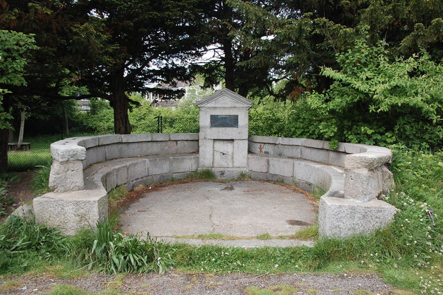
Image: © Bill Harrison Taken: 12 Jun 2016
This strange name possibly refers to a 17th Century 'gingerbread well (or wall)' although the structure itself only dates from 1937.
Images are licensed for reuse under creativecommons.org/licenses/by-sa/2.0
Image Location
Latitude
57.162094
Longitude
-2.105298