20 to 25 The Orchard
Introduction
The photograph on this page of 20 to 25 The Orchard by Alexander P Kapp as part of the Geograph project.
The Geograph project started in 2005 with the aim of publishing, organising and preserving representative images for every square kilometre of Great Britain, Ireland and the Isle of Man.

There are currently over 7.5m images from over 14,400 individuals and you can help contribute to the project by visiting https://www.geograph.org.uk
20 to 25 The Orchard
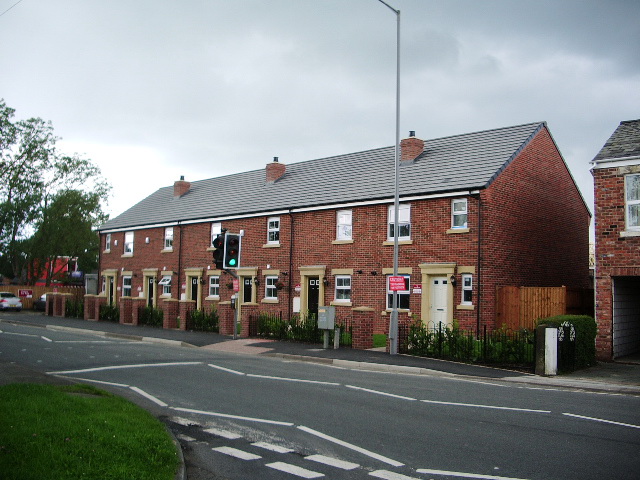
Image: © Alexander P Kapp Taken: 15 Jul 2007
New housing built in the same format as to the ones next to them. The site which was 2 small bungalows with gardens, will eventually have another 19 houses "squeezed" on to it, made up of detached, semis and another row of terraced
Images are licensed for reuse under creativecommons.org/licenses/by-sa/2.0
Image Location
Latitude
53.693018
Longitude
-2.731423