A stone dam and sluice gate
Introduction
The photograph on this page of A stone dam and sluice gate by John Haynes as part of the Geograph project.
The Geograph project started in 2005 with the aim of publishing, organising and preserving representative images for every square kilometre of Great Britain, Ireland and the Isle of Man.

There are currently over 7.5m images from over 14,400 individuals and you can help contribute to the project by visiting https://www.geograph.org.uk
A stone dam and sluice gate
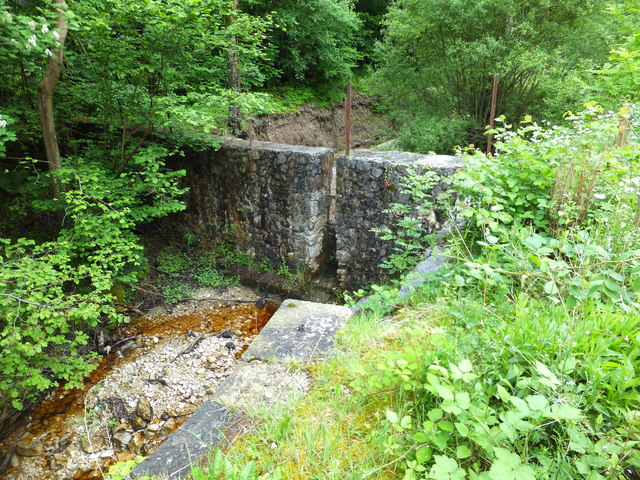
Image: © John Haynes Taken: 14 Jun 2016
A controlled source of water presumably used for whatever went on in the nearby buildings.
Images are licensed for reuse under creativecommons.org/licenses/by-sa/2.0
Image Location
Latitude
53.059269
Longitude
-3.108297