Track to Bowhay Farm
Introduction
The photograph on this page of Track to Bowhay Farm by Derek Harper as part of the Geograph project.
The Geograph project started in 2005 with the aim of publishing, organising and preserving representative images for every square kilometre of Great Britain, Ireland and the Isle of Man.

There are currently over 7.5m images from over 14,400 individuals and you can help contribute to the project by visiting https://www.geograph.org.uk
Track to Bowhay Farm
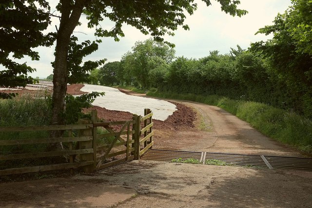
Image: © Derek Harper Taken: 16 Jun 2016
From the same place as Image], looking right down the valley. The stream that created the valley and runs among the trees to the right of the track is named as the Matford Brook some distance downstream, and has no other name in its upper course, so, for me, it's the Matford Brook. The track is not a right of way.
Images are licensed for reuse under creativecommons.org/licenses/by-sa/2.0
Image Location
Latitude
50.683735
Longitude
-3.57258