Footpath to Alexandra Street
Introduction
The photograph on this page of Footpath to Alexandra Street by Gerald England as part of the Geograph project.
The Geograph project started in 2005 with the aim of publishing, organising and preserving representative images for every square kilometre of Great Britain, Ireland and the Isle of Man.

There are currently over 7.5m images from over 14,400 individuals and you can help contribute to the project by visiting https://www.geograph.org.uk
Footpath to Alexandra Street
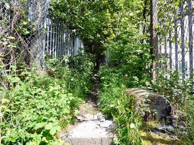
Image: © Gerald England Taken: 29 May 2016
From the towpath of the Peak Forest Canal by the side of Providence Mill.
Images are licensed for reuse under creativecommons.org/licenses/by-sa/2.0
Image Location
Latitude
53.446964
Longitude
-2.086987