River Roch exposed
Introduction
The photograph on this page of River Roch exposed by Stephen Darlington as part of the Geograph project.
The Geograph project started in 2005 with the aim of publishing, organising and preserving representative images for every square kilometre of Great Britain, Ireland and the Isle of Man.

There are currently over 7.5m images from over 14,400 individuals and you can help contribute to the project by visiting https://www.geograph.org.uk
River Roch exposed
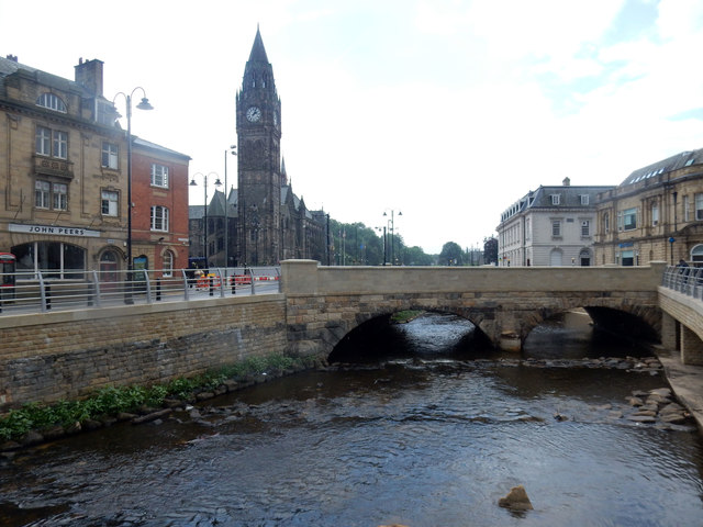
Image: © Stephen Darlington Taken: 16 Jun 2016
Rochdale has just finished work on uncovering the River Roch in the centre of Rochdale. River covered when tramlines were laid about 1900. Bridge is very old.
Images are licensed for reuse under creativecommons.org/licenses/by-sa/2.0
Image Location
Latitude
53.616681
Longitude
-2.15778