Council flats backing onto the M275, Portsmouth
Introduction
The photograph on this page of Council flats backing onto the M275, Portsmouth by Peter Facey as part of the Geograph project.
The Geograph project started in 2005 with the aim of publishing, organising and preserving representative images for every square kilometre of Great Britain, Ireland and the Isle of Man.

There are currently over 7.5m images from over 14,400 individuals and you can help contribute to the project by visiting https://www.geograph.org.uk
Council flats backing onto the M275, Portsmouth
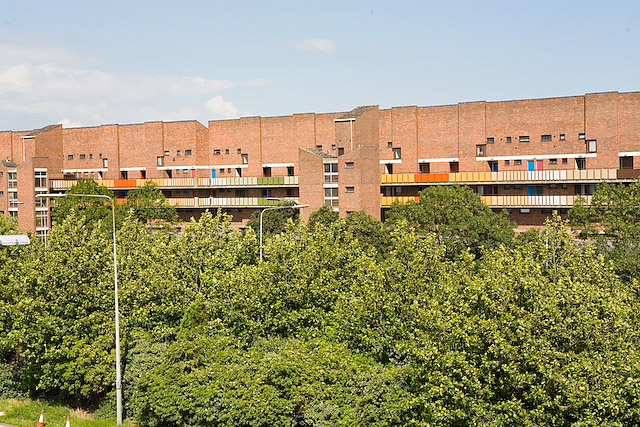
Image: © Peter Facey Taken: 18 Jul 2007
A long thin brick building (or rather series of buildings), at least three times longer than shown in this photo, with access from Centaur and Grafton Streets. The M275 is directly at the foot of the photo. The grimness of the scene is relieved by colourful painting of the walkway sides.
Images are licensed for reuse under creativecommons.org/licenses/by-sa/2.0
Image Location
Latitude
50.81037
Longitude
-1.085912