Aldborough House Farm
Introduction
The photograph on this page of Aldborough House Farm by Robin Webster as part of the Geograph project.
The Geograph project started in 2005 with the aim of publishing, organising and preserving representative images for every square kilometre of Great Britain, Ireland and the Isle of Man.

There are currently over 7.5m images from over 14,400 individuals and you can help contribute to the project by visiting https://www.geograph.org.uk
Aldborough House Farm
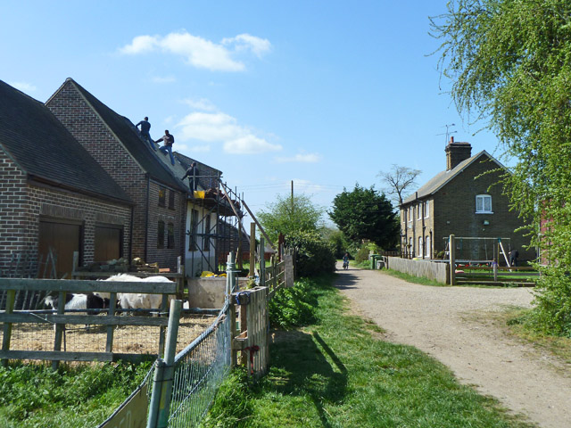
Image: © Robin Webster Taken: 9 Apr 2011
The building being reroofed appears to be the grade II listed barn of about 1730, 'originally the chapel attached to Aldborough Hall'.
Images are licensed for reuse under creativecommons.org/licenses/by-sa/2.0
Image Location
Latitude
51.582751
Longitude
0.095869