Suburban redevelopment
Introduction
The photograph on this page of Suburban redevelopment by Bill Harrison as part of the Geograph project.
The Geograph project started in 2005 with the aim of publishing, organising and preserving representative images for every square kilometre of Great Britain, Ireland and the Isle of Man.

There are currently over 7.5m images from over 14,400 individuals and you can help contribute to the project by visiting https://www.geograph.org.uk
Suburban redevelopment
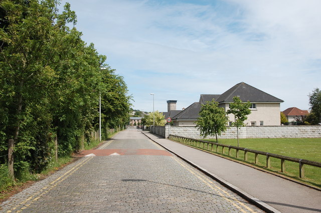
Image: © Bill Harrison Taken: 12 Jun 2016
Former private road laid with granite setts, which once served Grandholm textile mill, now redeveloped as up-market housing.
Images are licensed for reuse under creativecommons.org/licenses/by-sa/2.0
Image Location
Latitude
57.177166
Longitude
-2.127008