Executive flats
Introduction
The photograph on this page of Executive flats by Bill Harrison as part of the Geograph project.
The Geograph project started in 2005 with the aim of publishing, organising and preserving representative images for every square kilometre of Great Britain, Ireland and the Isle of Man.

There are currently over 7.5m images from over 14,400 individuals and you can help contribute to the project by visiting https://www.geograph.org.uk
Executive flats
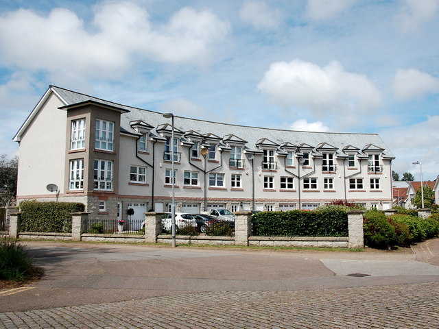
Image: © Bill Harrison Taken: 12 Jun 2016
The vaguely Italianate tower at the corner pays homage to nearby Grandholm Mill: http://www.geograph.org.uk/photo/1530377 .
Images are licensed for reuse under creativecommons.org/licenses/by-sa/2.0
Image Location
Latitude
57.175192
Longitude
-2.124189