Field pond and River Aire flood bank
Introduction
The photograph on this page of Field pond and River Aire flood bank by Martin Dawes as part of the Geograph project.
The Geograph project started in 2005 with the aim of publishing, organising and preserving representative images for every square kilometre of Great Britain, Ireland and the Isle of Man.

There are currently over 7.5m images from over 14,400 individuals and you can help contribute to the project by visiting https://www.geograph.org.uk
Field pond and River Aire flood bank
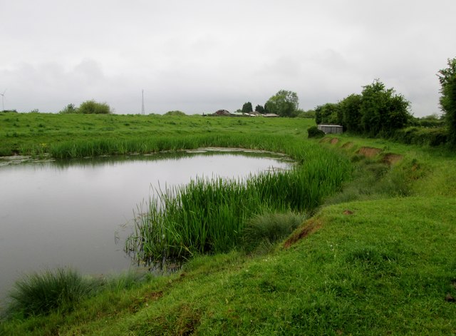
Image: © Martin Dawes Taken: 15 Jun 2016
The farm at Eskamhorn over the river can just be seen
Images are licensed for reuse under creativecommons.org/licenses/by-sa/2.0
Image Location
Latitude
53.698749
Longitude
-0.981981