River Aire and Eskamhorn
Introduction
The photograph on this page of River Aire and Eskamhorn by Martin Dawes as part of the Geograph project.
The Geograph project started in 2005 with the aim of publishing, organising and preserving representative images for every square kilometre of Great Britain, Ireland and the Isle of Man.

There are currently over 7.5m images from over 14,400 individuals and you can help contribute to the project by visiting https://www.geograph.org.uk
River Aire and Eskamhorn
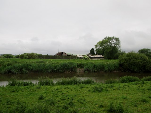
Image: © Martin Dawes Taken: 15 Jun 2016
The farm at Eskamhorn had a peacock on the top of a barn being very vocal
Images are licensed for reuse under creativecommons.org/licenses/by-sa/2.0
Image Location
Latitude
53.69885
Longitude
-0.983342