View of the Don
Introduction
The photograph on this page of View of the Don by Bill Harrison as part of the Geograph project.
The Geograph project started in 2005 with the aim of publishing, organising and preserving representative images for every square kilometre of Great Britain, Ireland and the Isle of Man.

There are currently over 7.5m images from over 14,400 individuals and you can help contribute to the project by visiting https://www.geograph.org.uk
View of the Don
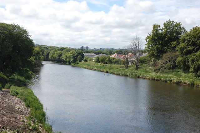
Image: © Bill Harrison Taken: 12 Jun 2016
The River Don as seen from the new (in June 2016) vantage point of the Third Don Crossing (to be officially named 'The Diamond Bridge').
Images are licensed for reuse under creativecommons.org/licenses/by-sa/2.0
Image Location
Latitude
57.175194
Longitude
-2.122536