Ensbury Park: footpath U34 to Draycott Road
Introduction
The photograph on this page of Ensbury Park: footpath U34 to Draycott Road by Chris Downer as part of the Geograph project.
The Geograph project started in 2005 with the aim of publishing, organising and preserving representative images for every square kilometre of Great Britain, Ireland and the Isle of Man.

There are currently over 7.5m images from over 14,400 individuals and you can help contribute to the project by visiting https://www.geograph.org.uk
Ensbury Park: footpath U34 to Draycott Road
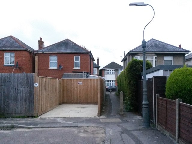
Image: © Chris Downer Taken: 15 Jun 2016
A short public footpath at the dead end of Beswick Avenue, leading between two houses to Draycott Road. The number 14 on the gatepost on the left has DRAYCOTT ROAD below it - it is of course a rear driveway for the house which is not in Beswick Avenue. See Image for the view along the path from the other end.
Images are licensed for reuse under creativecommons.org/licenses/by-sa/2.0
Image Location
Latitude
50.752927
Longitude
-1.889662