Bournemouth: footpath B16 to Bodorgan Road
Introduction
The photograph on this page of Bournemouth: footpath B16 to Bodorgan Road by Chris Downer as part of the Geograph project.
The Geograph project started in 2005 with the aim of publishing, organising and preserving representative images for every square kilometre of Great Britain, Ireland and the Isle of Man.

There are currently over 7.5m images from over 14,400 individuals and you can help contribute to the project by visiting https://www.geograph.org.uk
Bournemouth: footpath B16 to Bodorgan Road
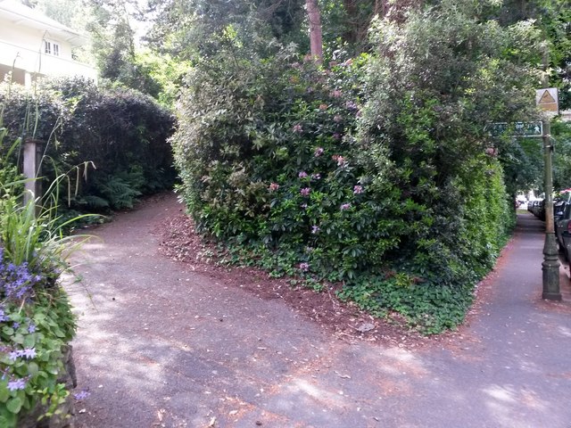
Image: © Chris Downer Taken: 15 Jun 2016
Looking up the start of this public footpath from Braidley Road. This is one arm of a Y-shape arrangement, with another path coming up in the opposite direction a short distance ahead. As can be seen, the first yard or two shares its route with the driveway of one of the houses. See Image for the view towards us from a little way up the path, and Image for the start of the other path, B17.
Images are licensed for reuse under creativecommons.org/licenses/by-sa/2.0
Image Location
Latitude
50.724771
Longitude
-1.880661