Penryn Bridge at high tide
Introduction
The photograph on this page of Penryn Bridge at high tide by Chris Allen as part of the Geograph project.
The Geograph project started in 2005 with the aim of publishing, organising and preserving representative images for every square kilometre of Great Britain, Ireland and the Isle of Man.

There are currently over 7.5m images from over 14,400 individuals and you can help contribute to the project by visiting https://www.geograph.org.uk
Penryn Bridge at high tide
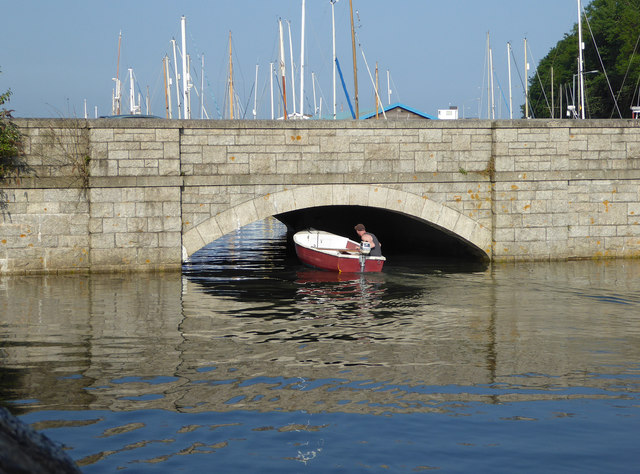
Image: © Chris Allen Taken: 5 Jun 2016
This stone bridge was built in the mid-1930s to replace an earlier swing bridge. There isn't much clearance at high tide.
Images are licensed for reuse under creativecommons.org/licenses/by-sa/2.0
Image Location
Latitude
50.16658
Longitude
-5.097894