Sandhurst Royal Military Academy: aerial 2016
Introduction
The photograph on this page of Sandhurst Royal Military Academy: aerial 2016 by Chris as part of the Geograph project.
The Geograph project started in 2005 with the aim of publishing, organising and preserving representative images for every square kilometre of Great Britain, Ireland and the Isle of Man.

There are currently over 7.5m images from over 14,400 individuals and you can help contribute to the project by visiting https://www.geograph.org.uk
Sandhurst Royal Military Academy: aerial 2016
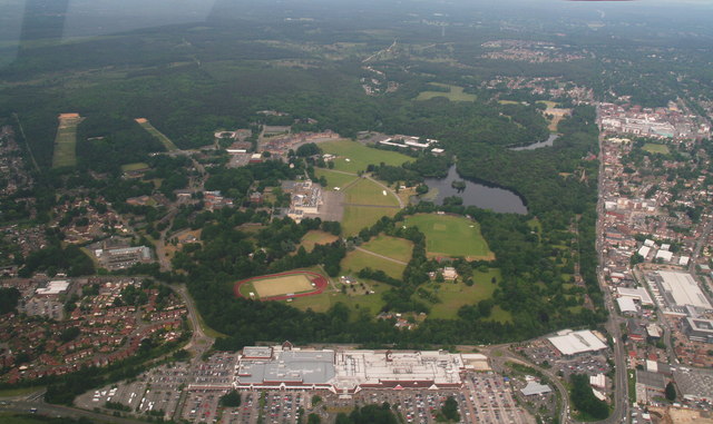
Image: © Chris Taken: 10 Jun 2016
In the foreground is not the college building but a shopping centre.
Images are licensed for reuse under creativecommons.org/licenses/by-sa/2.0
Image Location
Latitude
51.340695
Longitude
-0.767023