Crossroads in Letcombe Regis
Introduction
The photograph on this page of Crossroads in Letcombe Regis by Des Blenkinsopp as part of the Geograph project.
The Geograph project started in 2005 with the aim of publishing, organising and preserving representative images for every square kilometre of Great Britain, Ireland and the Isle of Man.

There are currently over 7.5m images from over 14,400 individuals and you can help contribute to the project by visiting https://www.geograph.org.uk
Crossroads in Letcombe Regis
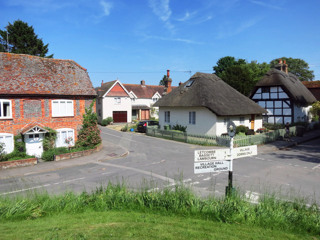
Image: © Des Blenkinsopp Taken: 6 Jun 2016
Roads meeting at the church in the centre of the village. Bassett Road to the left, Main Street ahead, South Street to the right plus a no through road to some houses.
Images are licensed for reuse under creativecommons.org/licenses/by-sa/2.0
Image Location
Latitude
51.575637
Longitude
-1.452185