
Houses at Coultings
Introduction
The photograph on this page of Houses at Coultings by David Ward as part of the Geograph project.
The Geograph project started in 2005 with the aim of publishing, organising and preserving representative images for every square kilometre of Great Britain, Ireland and the Isle of Man.

There are currently over 7.5m images from over 14,400 individuals and you can help contribute to the project by visiting https://www.geograph.org.uk
Houses at Coultings
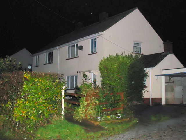
Image: © David Ward Taken: 2 Nov 2002
This pair of houses in the hamlet of Coultings were built by the local farmer for his workers and because it was 1953 (the year of the Queen's coronation) they were called Coronation Cottages. About five years later a second pair (away to the right in the picture) were completed. [This picture was taken late in the evening and there was some daylight left - it was not pitch black and why the camera showed it that way, I do not know!!]
Images are licensed for reuse under creativecommons.org/licenses/by-sa/2.0
Image Location

Latitude
51.167003
Longitude
-3.111959