Information board, Bynea
Introduction
The photograph on this page of Information board, Bynea by Jaggery as part of the Geograph project.
The Geograph project started in 2005 with the aim of publishing, organising and preserving representative images for every square kilometre of Great Britain, Ireland and the Isle of Man.

There are currently over 7.5m images from over 14,400 individuals and you can help contribute to the project by visiting https://www.geograph.org.uk
Information board, Bynea
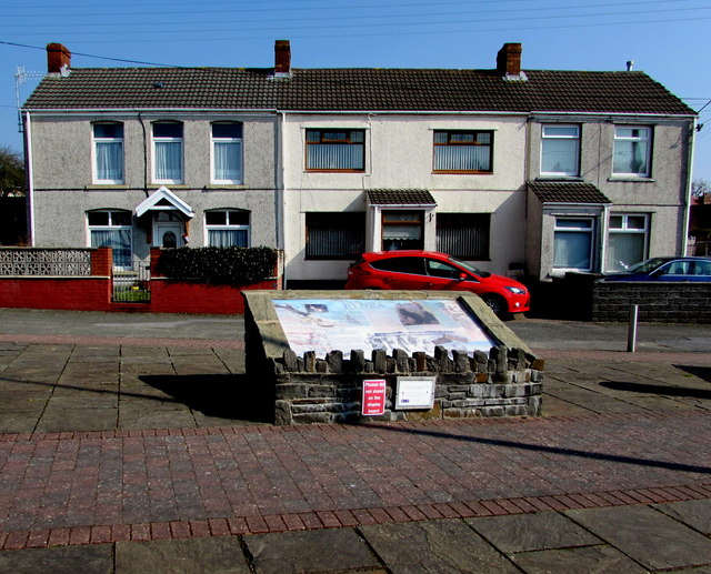
Image: © Jaggery Taken: 17 Mar 2016
Located behind this http://www.geograph.org.uk/photo/4992682 Cwmfelin Road bus shelter, the large board displays illustrated historical, geological and geographical information about Bynea and the surrounding area.
Images are licensed for reuse under creativecommons.org/licenses/by-sa/2.0
Image Location
Latitude
51.6745
Longitude
-4.104057