Saron Community Hall, Bynea
Introduction
The photograph on this page of Saron Community Hall, Bynea by Jaggery as part of the Geograph project.
The Geograph project started in 2005 with the aim of publishing, organising and preserving representative images for every square kilometre of Great Britain, Ireland and the Isle of Man.

There are currently over 7.5m images from over 14,400 individuals and you can help contribute to the project by visiting https://www.geograph.org.uk
Saron Community Hall, Bynea
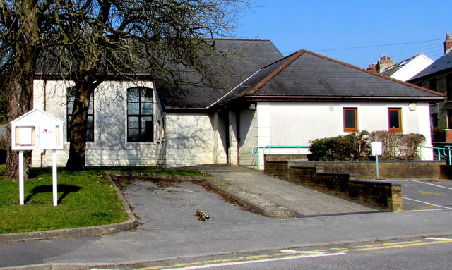
Image: © Jaggery Taken: 17 Mar 2016
Located between the B4297 Cwmfelin Road and Saron Road. http://www.geograph.org.uk/photo/4992745 to a closer view of the information board.
Images are licensed for reuse under creativecommons.org/licenses/by-sa/2.0
Image Location
Latitude
51.674854
Longitude
-4.104363