Stoke-on-Trent: sign for River Trent Path
Introduction
The photograph on this page of Stoke-on-Trent: sign for River Trent Path by Jonathan Hutchins as part of the Geograph project.
The Geograph project started in 2005 with the aim of publishing, organising and preserving representative images for every square kilometre of Great Britain, Ireland and the Isle of Man.

There are currently over 7.5m images from over 14,400 individuals and you can help contribute to the project by visiting https://www.geograph.org.uk
Stoke-on-Trent: sign for River Trent Path
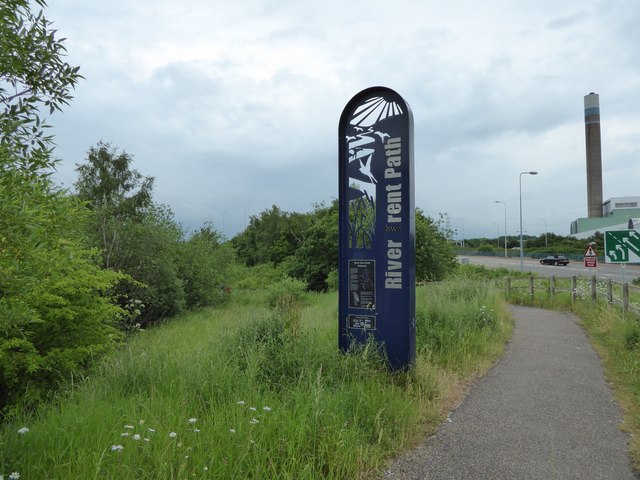
Image: © Jonathan Hutchins Taken: 11 Jun 2016
The river and associated path/cycleway below are seen in http://www.geograph.org.uk/photo/4991689 . In the background is the incinerator chimney at Sideway.
Images are licensed for reuse under creativecommons.org/licenses/by-sa/2.0
Image Location
Latitude
52.989498
Longitude
-2.185722