Bible Christian Sunday School, Penzance
Introduction
The photograph on this page of Bible Christian Sunday School, Penzance by Jaggery as part of the Geograph project.
The Geograph project started in 2005 with the aim of publishing, organising and preserving representative images for every square kilometre of Great Britain, Ireland and the Isle of Man.

There are currently over 7.5m images from over 14,400 individuals and you can help contribute to the project by visiting https://www.geograph.org.uk
Bible Christian Sunday School, Penzance
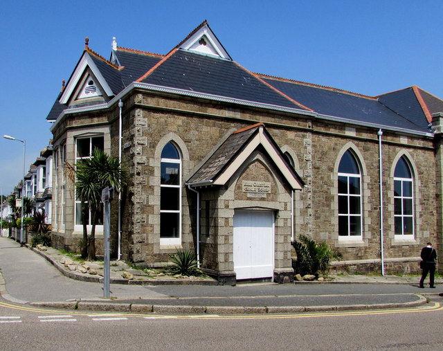
Image: © Jaggery Taken: 4 Jun 2016
On the corner of Tolver Road and Taroveor Road, Bible Christian Sunday School is part of High Street Methodist Church http://www.geograph.org.uk/photo/4991733 on the camera side of the road.
Images are licensed for reuse under creativecommons.org/licenses/by-sa/2.0
Image Location
Latitude
50.12105
Longitude
-5.538508