King's Barn Lane, Steyning
Introduction
The photograph on this page of King's Barn Lane, Steyning by Simon Carey as part of the Geograph project.
The Geograph project started in 2005 with the aim of publishing, organising and preserving representative images for every square kilometre of Great Britain, Ireland and the Isle of Man.

There are currently over 7.5m images from over 14,400 individuals and you can help contribute to the project by visiting https://www.geograph.org.uk
King's Barn Lane, Steyning
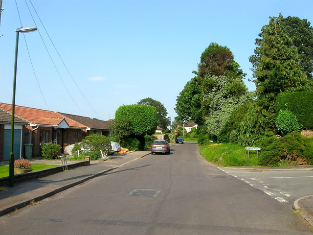
Image: © Simon Carey Taken: 5 Jun 2016
The old highway linked Steyning to its old outliers to the north and for many centuries was an isolated country lane. Development began in the 1930s and was completed by the 1970s. Originally a part of Upper Beeding's Kings Barn tithing that was transferred to Steyning in the 1980s.
Images are licensed for reuse under creativecommons.org/licenses/by-sa/2.0
Image Location
Latitude
50.889583
Longitude
-0.316743