Footpath towards Ddol
Introduction
The photograph on this page of Footpath towards Ddol by John Haynes as part of the Geograph project.
The Geograph project started in 2005 with the aim of publishing, organising and preserving representative images for every square kilometre of Great Britain, Ireland and the Isle of Man.

There are currently over 7.5m images from over 14,400 individuals and you can help contribute to the project by visiting https://www.geograph.org.uk
Footpath towards Ddol
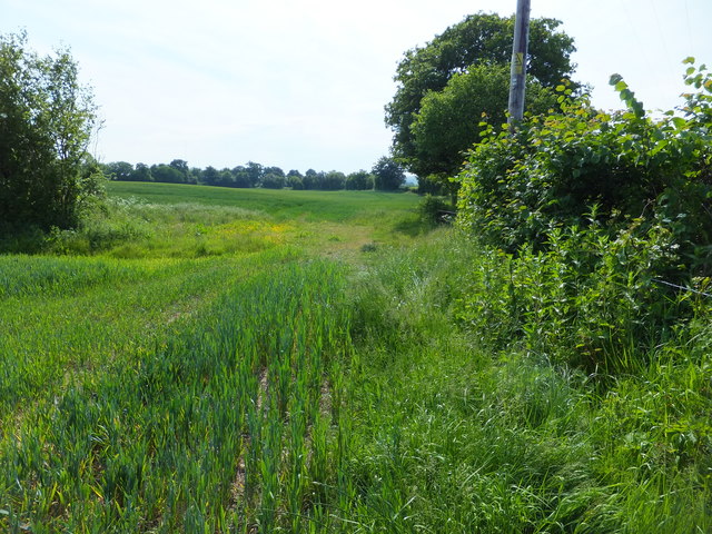
Image: © John Haynes Taken: 6 Jun 2016
This little used path has got to the stage of being almost impossible to use comfortably. The wild plants from the hedge grow out to the winter wheat in the field. Please love footpaths like this one, it could be an example of "use it or lose it". Image] http://www.wrexham.gov.uk/english/leisure_tourism/prow/definitive_map.htm
Images are licensed for reuse under creativecommons.org/licenses/by-sa/2.0
Image Location
Latitude
53.042161
Longitude
-3.021049