Roman Road, Steyning
Introduction
The photograph on this page of Roman Road, Steyning by Simon Carey as part of the Geograph project.
The Geograph project started in 2005 with the aim of publishing, organising and preserving representative images for every square kilometre of Great Britain, Ireland and the Isle of Man.

There are currently over 7.5m images from over 14,400 individuals and you can help contribute to the project by visiting https://www.geograph.org.uk
Roman Road, Steyning
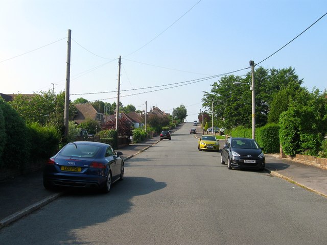
Image: © Simon Carey Taken: 5 Jun 2016
The southern end of the road viewed from near the junction with Castle Lane. The northern part of the road as far as Castle Way had been laid out by 1932 with this section added later and developed by 1946. Originally part of Upper Beeding's Kings barn tithing that was transferred to Steyning in the 1980s.
Images are licensed for reuse under creativecommons.org/licenses/by-sa/2.0
Image Location
Latitude
50.886096
Longitude
-0.318148