De Braose Way, Bramber
Introduction
The photograph on this page of De Braose Way, Bramber by Simon Carey as part of the Geograph project.
The Geograph project started in 2005 with the aim of publishing, organising and preserving representative images for every square kilometre of Great Britain, Ireland and the Isle of Man.

There are currently over 7.5m images from over 14,400 individuals and you can help contribute to the project by visiting https://www.geograph.org.uk
De Braose Way, Bramber
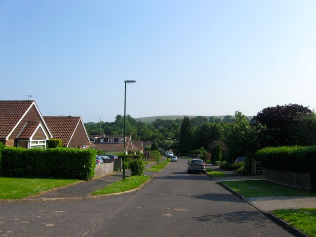
Image: © Simon Carey Taken: 5 Jun 2016
A cul de sac off Castle Lane that was developed in the 1960s on the site of former allotment gardens. De Braose was the name of the family who were close associates of William the Conqueror that built the nearby castle.
Images are licensed for reuse under creativecommons.org/licenses/by-sa/2.0
Image Location
Latitude
50.885577
Longitude
-0.319588