Public Footpath, Steyning
Introduction
The photograph on this page of Public Footpath, Steyning by Simon Carey as part of the Geograph project.
The Geograph project started in 2005 with the aim of publishing, organising and preserving representative images for every square kilometre of Great Britain, Ireland and the Isle of Man.

There are currently over 7.5m images from over 14,400 individuals and you can help contribute to the project by visiting https://www.geograph.org.uk
Public Footpath, Steyning
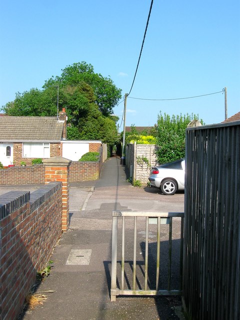
Image: © Simon Carey Taken: 5 Jun 2016
A very old right of way that originally ran over open fields to a detached portion of Steyning called Spratt's Marsh located in the shadows of Bramber Castle. The path has remained despite development, a footbridge was built over the railway in 1861, Holland Road and Castle Way follow the route and this path has been laid between Goring Road and Roman Road. Here it crosses the southern tip of Rosemary Avenue.
Images are licensed for reuse under creativecommons.org/licenses/by-sa/2.0
Image Location
Latitude
50.887458
Longitude
-0.319094