10-11, White Horse Square, Steyning
Introduction
The photograph on this page of 10-11, White Horse Square, Steyning by Simon Carey as part of the Geograph project.
The Geograph project started in 2005 with the aim of publishing, organising and preserving representative images for every square kilometre of Great Britain, Ireland and the Isle of Man.

There are currently over 7.5m images from over 14,400 individuals and you can help contribute to the project by visiting https://www.geograph.org.uk
10-11, White Horse Square, Steyning
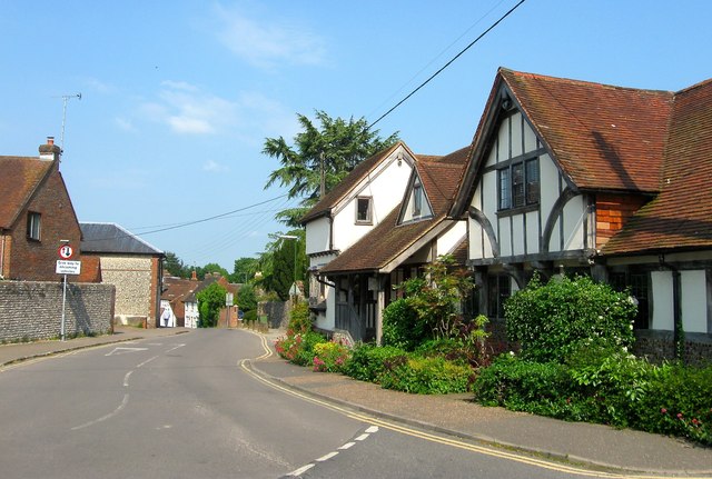
Image: © Simon Carey Taken: 5 Jun 2016
A mock tudor building constructed during the late 1980s on the site of the former F.Duke Ltd's builders yard. White Horse Square is formed by the junctions of Sheep Pen Lane, visible in the image, Newham Lane and Charlton Street.
Images are licensed for reuse under creativecommons.org/licenses/by-sa/2.0
Image Location
Latitude
50.88734
Longitude
-0.329619