Roofs and rear of Pack Horse Inn
Introduction
The photograph on this page of Roofs and rear of Pack Horse Inn by Bob Harvey as part of the Geograph project.
The Geograph project started in 2005 with the aim of publishing, organising and preserving representative images for every square kilometre of Great Britain, Ireland and the Isle of Man.

There are currently over 7.5m images from over 14,400 individuals and you can help contribute to the project by visiting https://www.geograph.org.uk
Roofs and rear of Pack Horse Inn
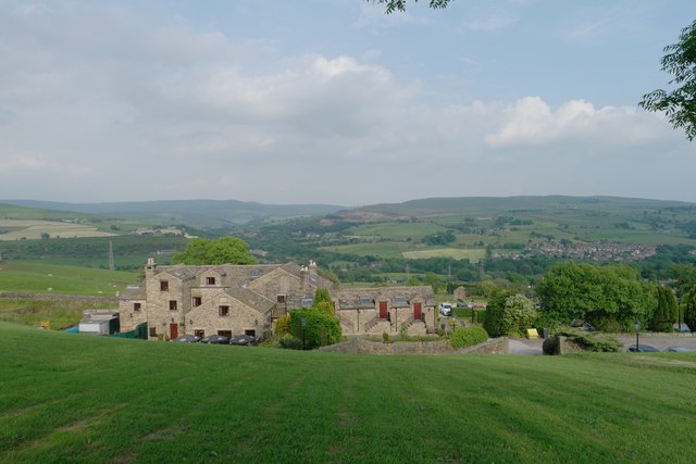
Image: © Bob Harvey Taken: 9 Jun 2016
This is one of the component images of the panorama in Image In the middle distance is Image and Image, whilst further away we can see all the way to Hayfield and Kinder Scout. I used this image to make a point about the bucolic pleasures of outdoor rambling, and a friend replied "I'm mildly amused because that's the area I'm from. It's changed a lot in 30 years. Birch Vale was cotton mills, foundries, dirty engineering and grossly polluted waterways. Now people see the area as "natural" not realising it's post-industrial."
Images are licensed for reuse under creativecommons.org/licenses/by-sa/2.0
Image Location
Latitude
53.380121
Longitude
-1.99981