St Matthew's Field, Chelston
Introduction
The photograph on this page of St Matthew's Field, Chelston by Derek Harper as part of the Geograph project.
The Geograph project started in 2005 with the aim of publishing, organising and preserving representative images for every square kilometre of Great Britain, Ireland and the Isle of Man.

There are currently over 7.5m images from over 14,400 individuals and you can help contribute to the project by visiting https://www.geograph.org.uk
St Matthew's Field, Chelston
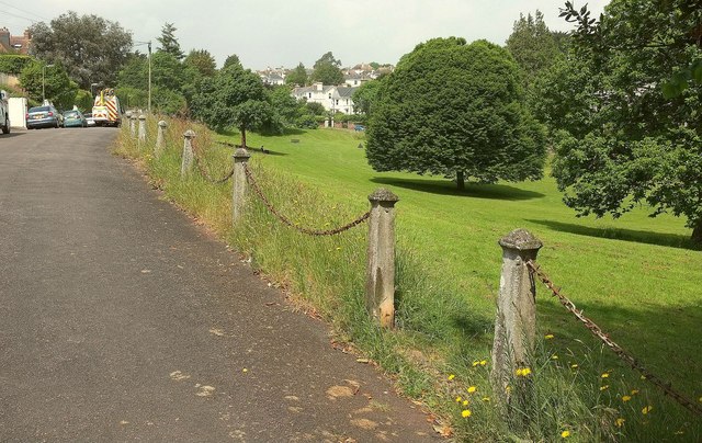
Image: © Derek Harper Taken: 7 Jun 2016
From Vicarage Road. See Image]; another tree is being attended separately in a garden along the road.
Images are licensed for reuse under creativecommons.org/licenses/by-sa/2.0
Image Location
Latitude
50.462867
Longitude
-3.551433