Field of barley at Cold Hatton
Introduction
The photograph on this page of Field of barley at Cold Hatton by Richard Law as part of the Geograph project.
The Geograph project started in 2005 with the aim of publishing, organising and preserving representative images for every square kilometre of Great Britain, Ireland and the Isle of Man.

There are currently over 7.5m images from over 14,400 individuals and you can help contribute to the project by visiting https://www.geograph.org.uk
Field of barley at Cold Hatton
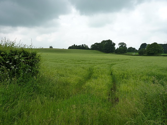
Image: © Richard Law Taken: 11 Jun 2016
Lying in the angle between the A442 and Stars Lane, the field is currently planted with ripening barley.
Images are licensed for reuse under creativecommons.org/licenses/by-sa/2.0
Image Location
Latitude
52.783939
Longitude
-2.552543