Track and footpath to Penyclawdd
Introduction
The photograph on this page of Track and footpath to Penyclawdd by Jonathan Billinger as part of the Geograph project.
The Geograph project started in 2005 with the aim of publishing, organising and preserving representative images for every square kilometre of Great Britain, Ireland and the Isle of Man.

There are currently over 7.5m images from over 14,400 individuals and you can help contribute to the project by visiting https://www.geograph.org.uk
Track and footpath to Penyclawdd
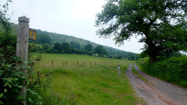
Image: © Jonathan Billinger Taken: 7 Jun 2016
The path continues to access Bryn Arw to the left of shot.
Images are licensed for reuse under creativecommons.org/licenses/by-sa/2.0
Image Location
Latitude
51.872494
Longitude
-3.002617